 F-2 MISSIONS
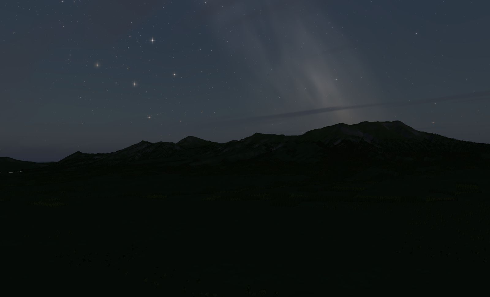
Aso Caldera
One of the largest calderas on Earth. A ring of outer rim mountains with towns living inside it, and a cluster of central cones in the middle.
DATA
- Location
- Kumamoto prefecture — Aso caldera
- Area built
- 16.4 km square
- Elevation
- 320 m to 1,591 m (measured)
- Highest point
- Taka-dake, 1,592 m — central cone group
There is a town inside the mountain. It is worth flying here once just to look at that.
The place
Kumamoto prefecture. Roughly 25 km north to south and 18 km east to west, this is one of the largest calderas in the world — and people live on the floor inside the ring.
At the centre stands the central cone group (Taka-dake at 1,592 m, Naka-dake and others). An outer wall, and mountains again inside it: a basin ringed twice, which is a structure you will not find elsewhere.
On the west side is the Tateno gap, the single break in the outer rim and the only way the caldera’s water gets out.
The terrain we built
16.4 km square, with measured elevations from 320 m to 1,591 m — the shoulder of the rim against the caldera floor.
Grassland covers much of the outer slopes, with fields on the floor inside. Sparsely wooded slopes are unusual for Japanese uplands, and the effect is that the shape of the ground itself is unusually legible.
What it is like to fly
Slip in through the Tateno gap and you are suddenly inside the wall. The mountain you were looking at from outside becomes a ring around you — that switch is what Aso is for.
The interior is wide, and you can work up and down between the floor and the shoulders of the rim. It is a closed circle rather than a one-way corridor, which makes it fly differently from every gorge here.
Come at night and all you see are the scattered village lights on the caldera floor. Outside those lights, all the way round, is wall.
The terrain included varies by edition and platform. See the description of each edition for details.
Elevation data: Geospatial Information Authority of Japan (GSI)