 F-2 MISSIONS
F-2 MISSIONS
F-2 MISSIONS
Every place in F-2 MISSIONS is a real place in Japan. The ground is built from the Geospatial Information Authority of Japan's elevation data and reproduced at its true dimensions. Runway lengths, valley widths, the rate at which a ridge comes at you — all of it is the real thing, at real size.
Eight air bases and seven mountain regions. Here is what each one is, and what you see when you fly it.
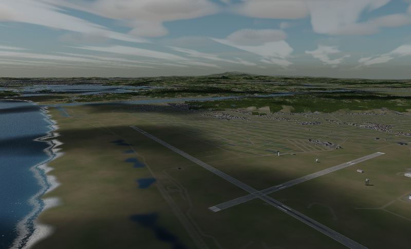 MATSUSHIMA
 The home base. Where JASDF pilots actually train on the two-seat F-2B, on a coastal field whose two runways cross in an X — reproduced at full size.
VIEW →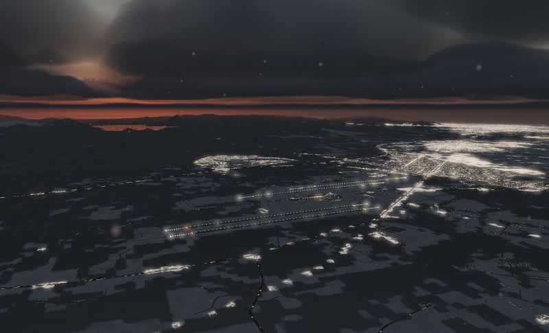 CHITOSE
 Four runways in one place — two JASDF, two civil. Built on the real Ishikari lowland, in winter, under snow.
VIEW →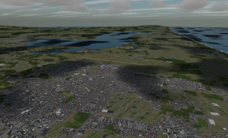 MISAWA
 A 3,048 m runway shared by the JASDF, the US Air Force and scheduled airline traffic. Take off and the Hakkōda mountains are dead ahead.
VIEW →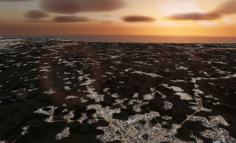 HYAKURI
 JASDF Hyakuri Air Base, the F-2 base guarding the airspace around Tokyo. Two parallel 2,700 m runways, shared with a civil terminal as Ibaraki Airport.
VIEW →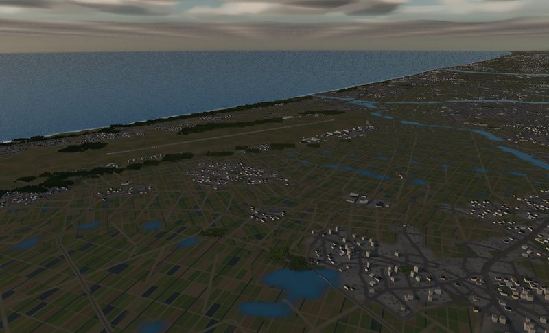 KOMATSU
 A fighter base on the Sea of Japan, home of the JASDF aggressor squadron. Take off and the coast is right there; Mt. Haku stands 42 km to your right.
VIEW →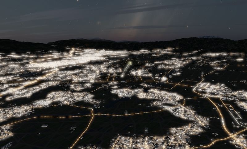 MATSUMOTO
 657 m above sea level — the highest airport in Japan with scheduled service. Ringed by 3,000 m peaks, no ILS, and only 2,000 m of runway.
VIEW →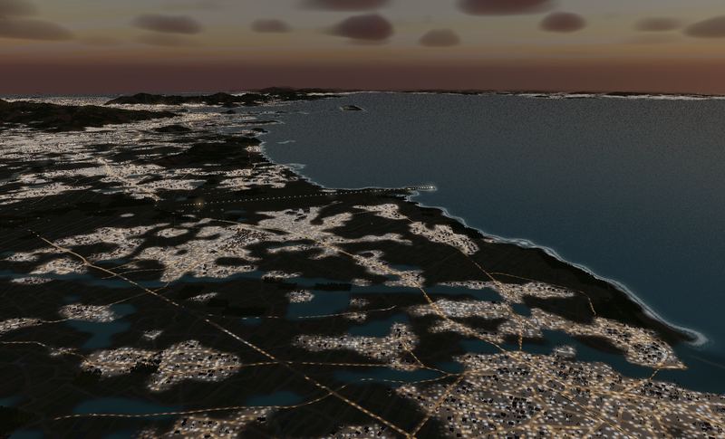 TSUIKI
 JASDF Tsuiki Air Base — two F-2 squadrons in one place, more F-2s than anywhere else. The sea is off one end of the runway and the Hikosan range is behind you.
VIEW →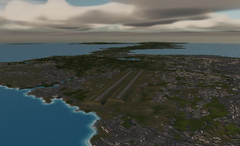 KADENA
 Two runways of 3,688 m — the longest and the southernmost terrain in the game. West of the pavement, coral shallows all the way out.
VIEW →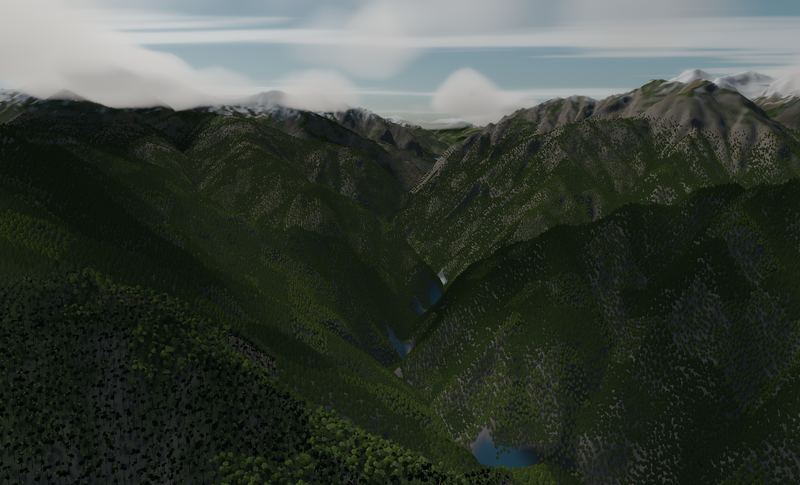 KUROBE GORGE
 One of Japan's three great gorges. Walls rising 1,800 m on both sides of a V-shaped valley, followed upstream along the river. The gateway to low-level flying.
VIEW →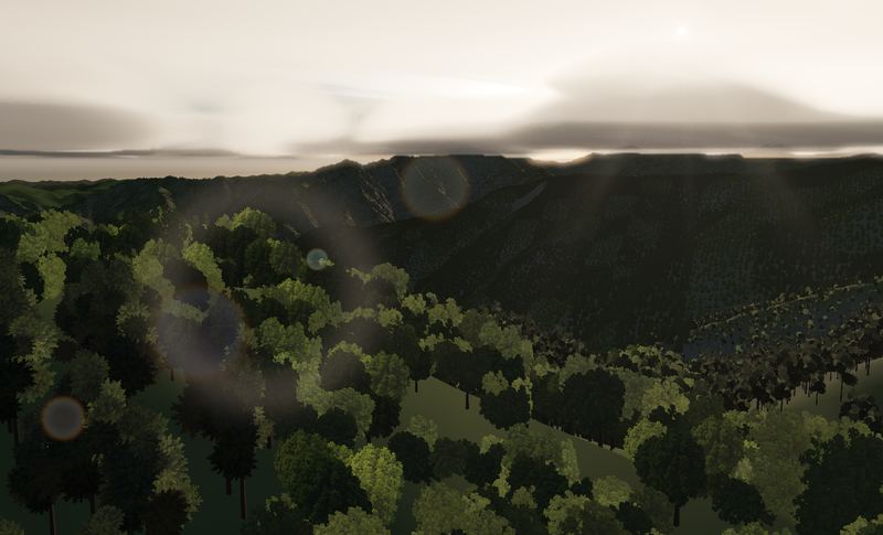 SOUTHERN ALPS
 Deep in the Akaishi range at the head of the Ōi river. You enter over a reservoir and climb as the valley climbs — and it is always upstream that the outs run out.
VIEW →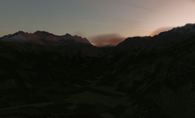 AZUSA VALLEY
 In over the surface of Taishō Pond and up the Azusa river. Walls of 3,000 m rock on both sides, and no room in this valley to climb.
VIEW →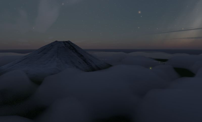 FUJI
FUJI Japan's 3,776 m peak, built at survey scale. You can orbit the foot of it — or climb the south face and drop through the summit crater.
VIEW →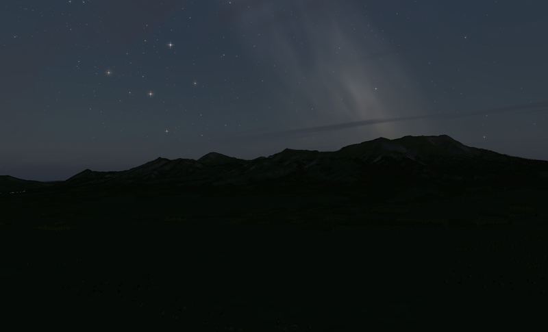 ASO CALDERA
 One of the largest calderas on Earth. A ring of outer rim mountains with towns living inside it, and a cluster of central cones in the middle.
VIEW →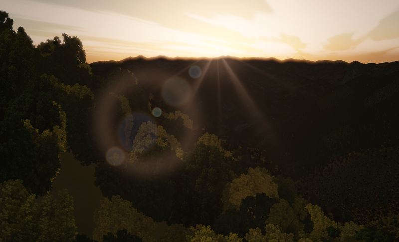 OBOKE GORGE
 The Yoshino river cutting clean through the Shikoku mountains. A tight, twisting gorge run downhill — the place name is the warning label.
VIEW →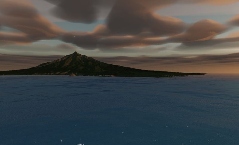 RISHIRI
 A round island 19 km across in Japan's northernmost waters. A free-standing volcano that goes from sea level to 1,721 m — the island is the mountain.
VIEW → The terrain included varies by edition and platform. See the description of each edition for details.
Elevation data: Geospatial Information Authority of Japan (GSI)
Updates, new missions, and news on the Android / Steam releases.