 F-2 MISSIONS
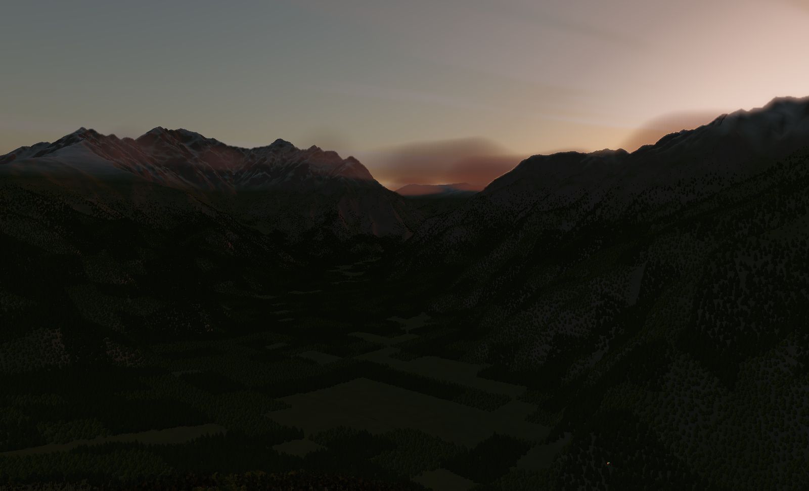
Kamikōchi — Azusa Valley
In over the surface of Taishō Pond and up the Azusa river. Walls of 3,000 m rock on both sides, and no room in this valley to climb.
DATA
- Location
- Matsumoto, Nagano — Chūbu-Sangaku National Park
- Area built
- 7.9 km square
- Elevation
- 1,332 m to 3,192 m (measured)
- Highest point
- Okuhotaka-dake, 3,190 m — third highest in Japan
The floor is already at 1,332 m and the walls top out at 3,192 m. Of all the gorges in the game, this is the one with the fewest ways out.
The place
The upper Azusa river in Matsumoto, Nagano prefecture — the heart of Chūbu-Sangaku National Park, known from the ground for Taishō Pond, Kappa Bridge and the Hotaka range.
The high point inside the tile is 3,192 m: Okuhotaka-dake (3,190 m), the third highest mountain in Japan. That is about 1,860 m above the floor — but unlike Kurobe, the floor itself is high. You come in at 1,332 m.
The terrain we built
7.9 km square, holding some of the greatest relief in Japan in a very small area.
Enter over the surface of Taishō Pond, follow the Azusa upstream, and 3,000 m rock walls close in on both sides. Snow on the ridges, forest on the floor: vegetation changes sharply with altitude, so you can read your own height off the colour of the ground.
The standard answer to a valley closing in is to climb, but here that is the longest way out — 1,800 m to the top of the walls. You commit to a line that reaches the exit before you go in.
What it is like to fly
There is no room in this valley to climb, and less room to bank than you would think. The F-2’s turn radius is large relative to the width of the gorge, and rolling in hard raises your stall speed.
Come through at dusk and the low sun lights only the left wall. Shadow on one side, glare on the other. The best view is usually where the conditions are worst.
The terrain included varies by edition and platform. See the description of each edition for details.
Elevation data: Geospatial Information Authority of Japan (GSI)