Carrier Qualification
From calm-day approaches to crosswinds, night traps, touch-and-go, and a final exam flown on instruments alone — where the fundamentals of landing are learned.
NORMAL HARD ACE
 F-2 MISSIONS
REAL FLIGHT. REAL TERRAIN. REAL SCALE.
Simple to fly.
Real in every other way.
No checklists, no switch panels, nothing to memorize — put your fingers down and fly. Where you fly is real Japan, built from the national survey's elevation data: 15 places from Rishiri in the north to Kadena in the south, at true scale and at the speeds and altitudes an actual fighter flies.
A point-mass model whose state is body-axis angle of attack. Roll into a turn and pull to hold your altitude — what's correct in the real jet is correct here too.
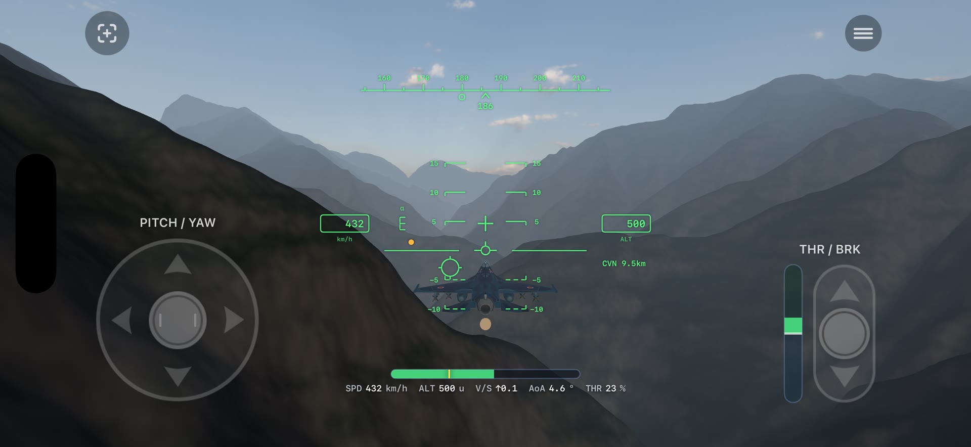
No switch panels, no procedures to memorize. Put your fingers down and fly. Control authority still scales with speed, so the feel stays honest.
Fuji is 3,776 m. Kurobe's walls stand 1,800 m. Runways are the length they really are. Every dimension is reproduced faithfully, so a ridge arrives as fast as it would in the actual aircraft.
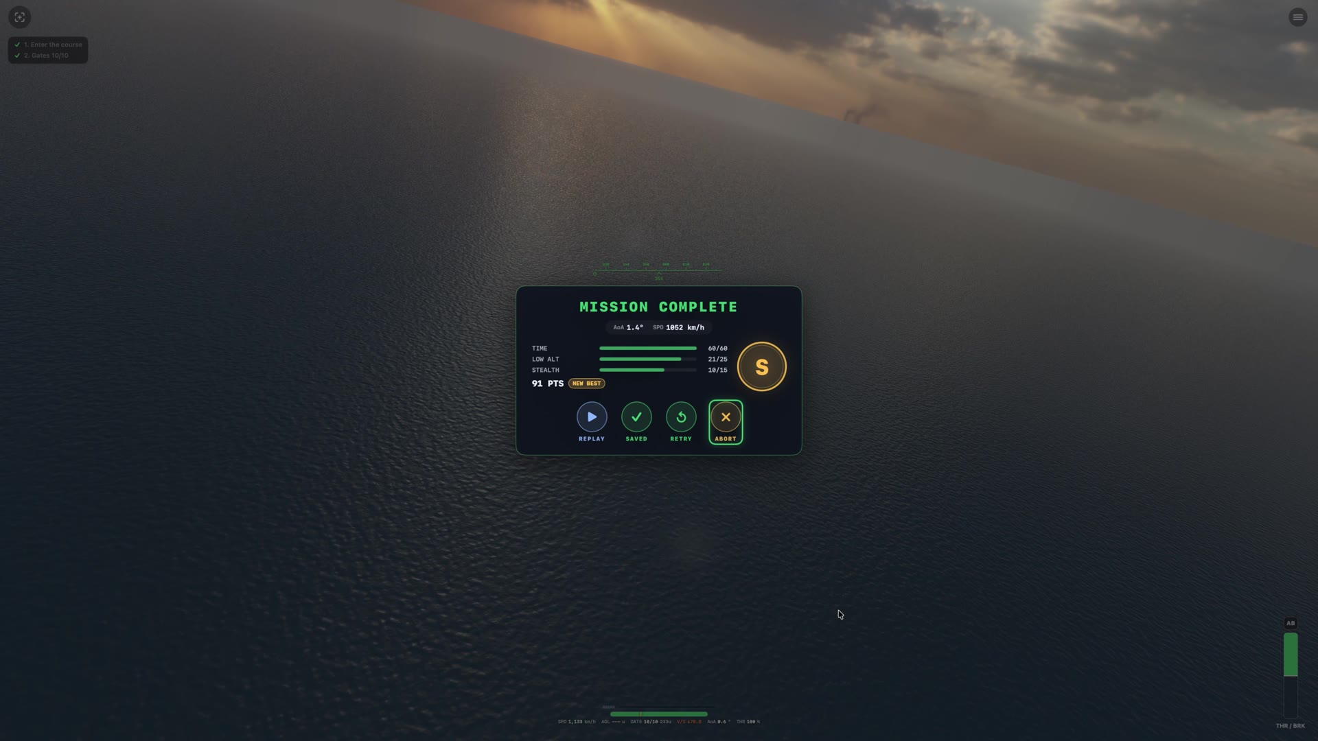
Every trap is scored 0–100 on sink rate, centerline, wire, and angle of attack — so you know exactly what to fix on the next pass.
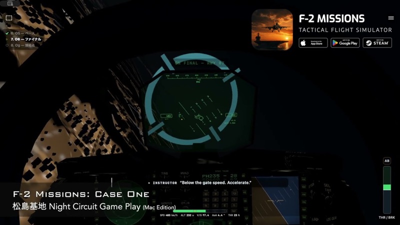
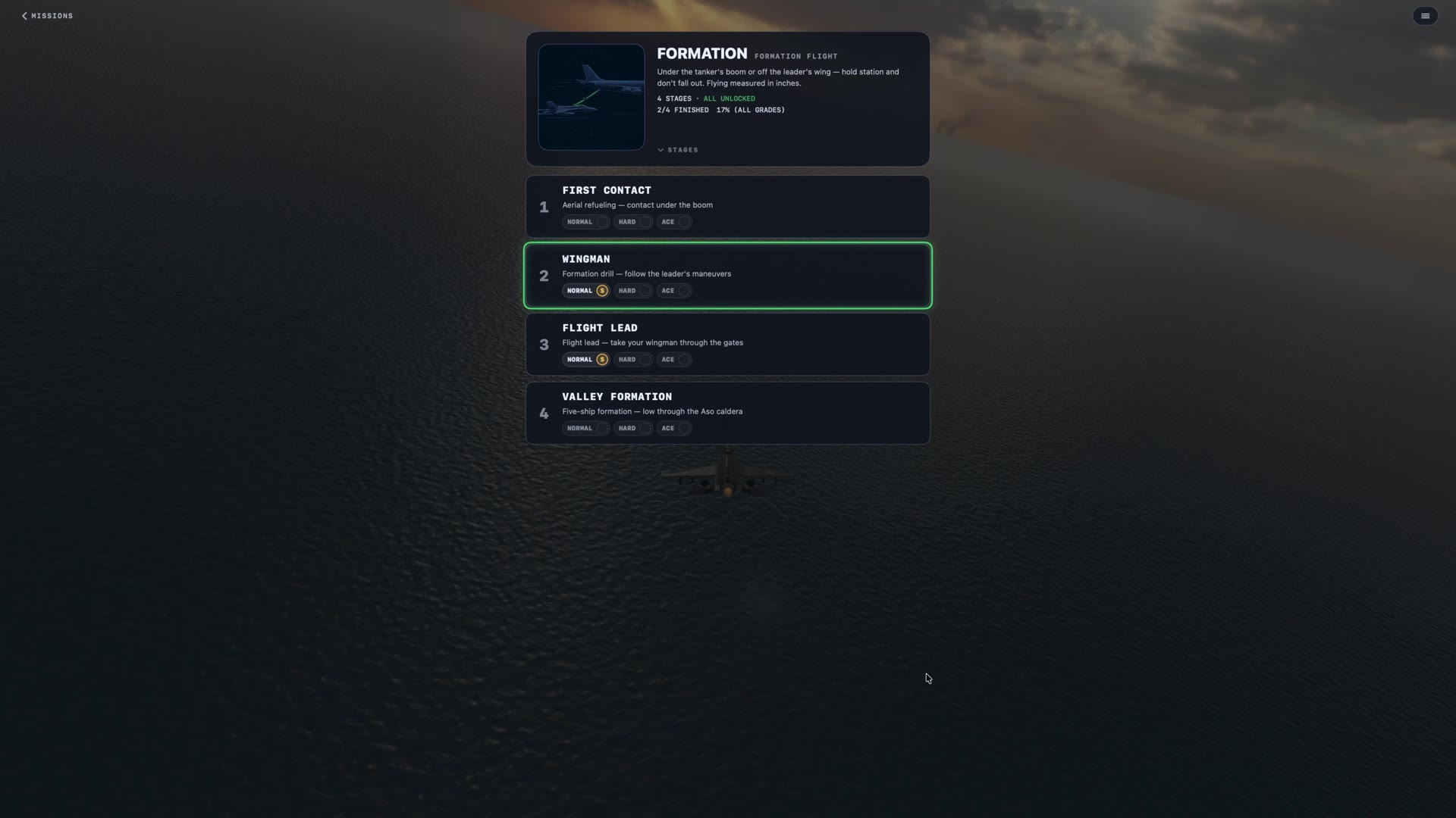
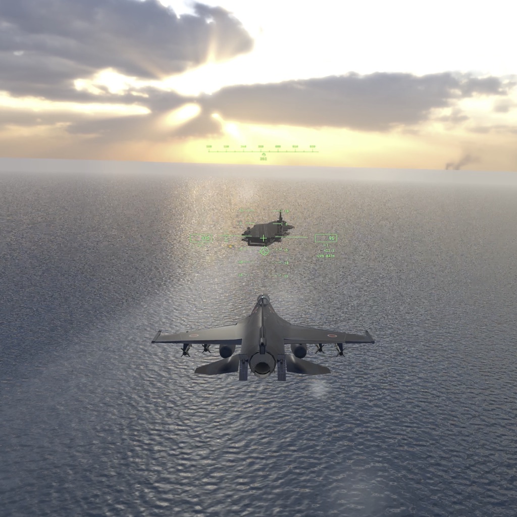
From calm-day approaches to crosswinds, night traps, touch-and-go, and a final exam flown on instruments alone — where the fundamentals of landing are learned.
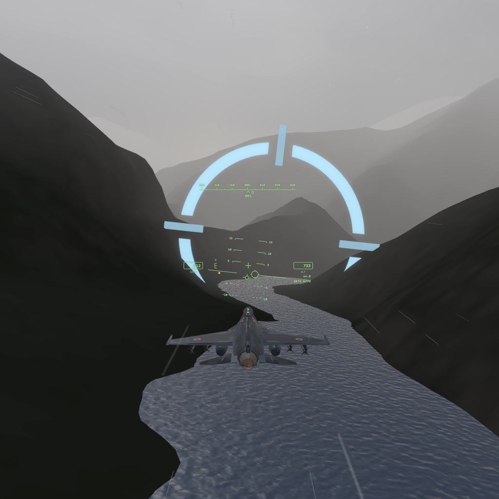
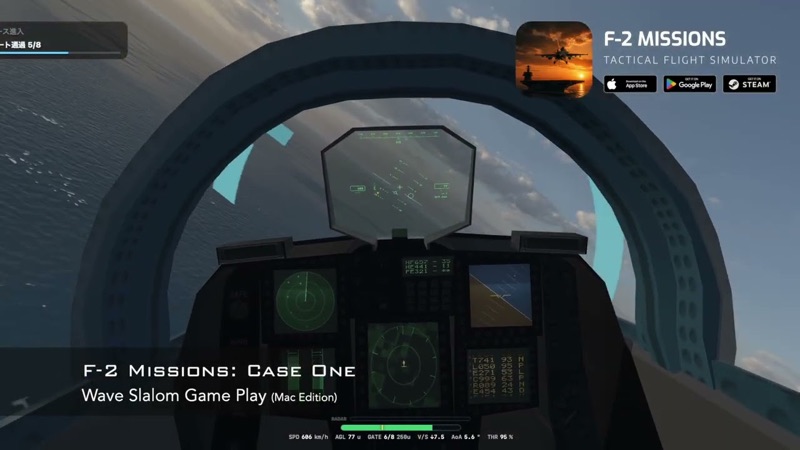
From open-ocean gate slaloms to low-level runs through real-world terrain — Kurobe Gorge, the Southern Alps, Mt. Fuji. Bank angle and spatial awareness, tested.
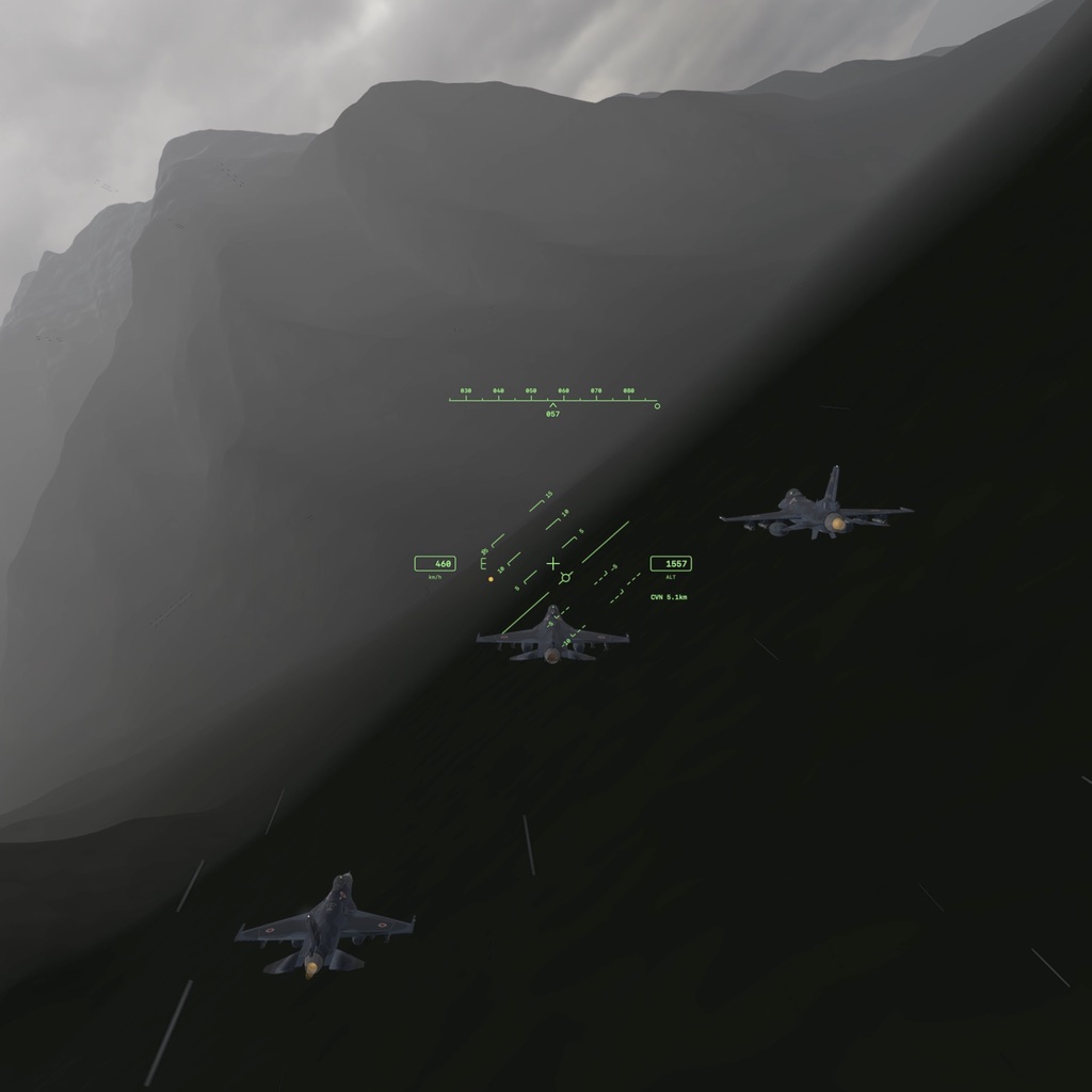
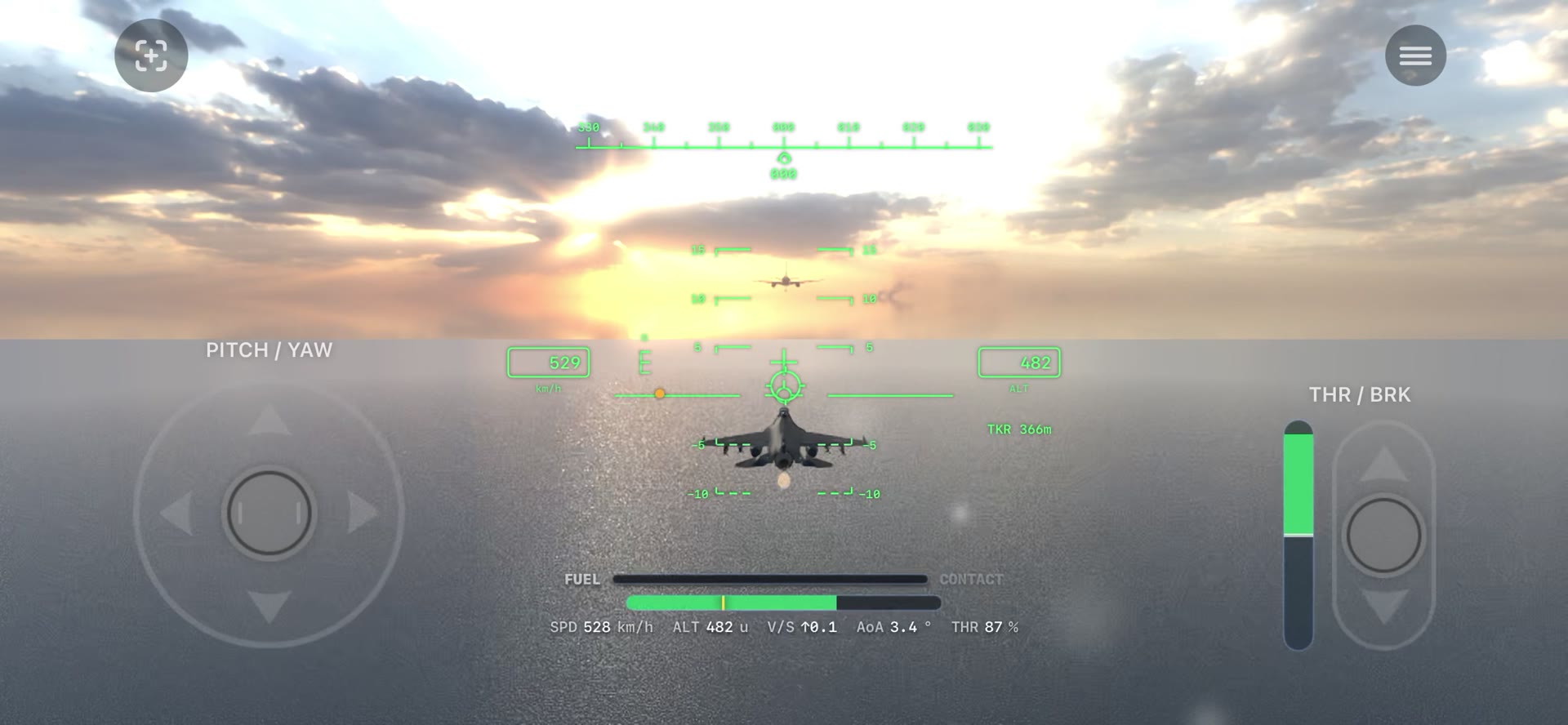
Hold position behind a tanker's boom, follow a lead's called-out maneuvers, or take the lead yourself with a wingman on your wing.
Stage lineup and count may change or expand in future updates.
Everything shown here reflects the current shipping version.
Real terrain from the national survey's own elevation data. The airfields carry their runways at full length and true heading; in the mountains, every valley is where it actually is. Duck behind a ridge, bank with the river — the terrain itself is the route.
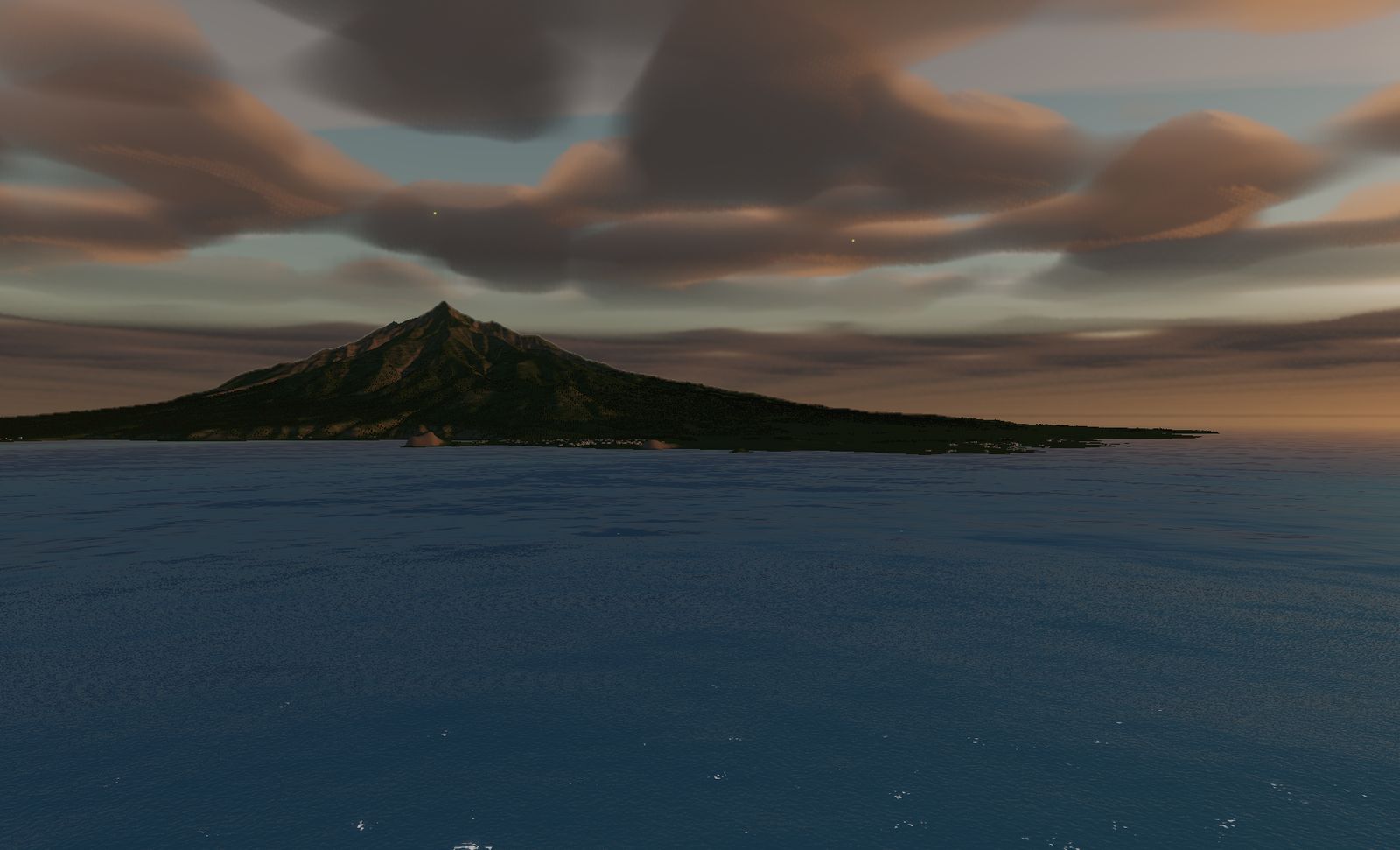 RISHIRI An island that is one mountain — 1,721 m straight out of the sea. The northernmost.
 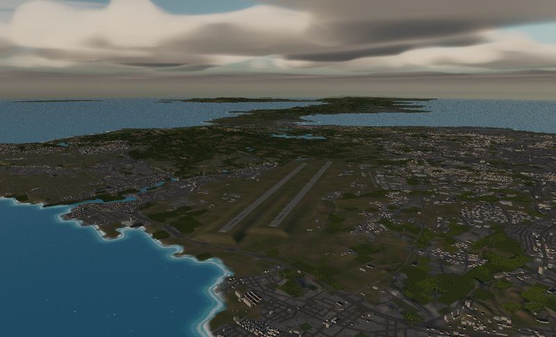 KADENA Two runways of 3,688 m. The southernmost.
 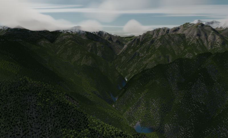 KUROBE GORGE A V-shaped valley with 1,800 m walls on either side.
 See all 15 places we built — bases and mountains →
The terrain included varies by edition and platform. See the description of each edition for details.
Elevation data: Geospatial Information Authority of Japan (GSI)
iPhone, iOS 17.0 or later. Free download with in-app purchase.
F-2 MISSIONS is under active development. Join the mailing list and we will email you when new missions, updates, and the Android / Steam releases land.