 F-2 MISSIONS
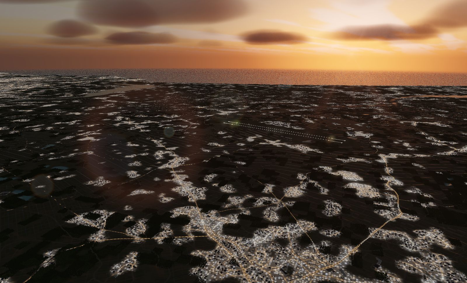
Hyakuri Air Base
JASDF Hyakuri Air Base, the F-2 base guarding the airspace around Tokyo. Two parallel 2,700 m runways, shared with a civil terminal as Ibaraki Airport.
DATA
- Identifier
- RJAH / JASDF Hyakuri Air Base, Ibaraki Airport
- Runways
- RWY 03R/21L — 2,700 m × 45 m
RWY 03L/21R — 2,700 m × 45 m - Elevation
- About 32 m
- Based units
- 7th Air Wing, 3rd Sqn (F-2A/B)
Hyakuri Rescue Sqn (UH-60J / U-125A) - Area built
- 21.7 km square
- Buildings
- 28,373
The squadron that first received the F-2 is here now — about 80 km northeast of Tokyo, covering the capital region.
The real base
Omitama, Ibaraki prefecture. The 7th Air Wing’s 3rd Squadron flies the F-2A/B from here. The 3rd was the first squadron to receive the F-2; it spent years at Misawa before moving to Hyakuri in March 2020. That move put the F-2 on capital-region air defence for the first time.
There are two parallel 2,700 m runways. The civil side opened in 2010 as Ibaraki Airport, so an air base and a passenger terminal use the same pavement.
The terrain we built
21.7 km square. This is the eastern edge of the Kantō plain and the flattest ground in the game — the measured elevation range across the whole area is 0 to 43 m.
Lake Kasumigaura lies to the northeast, and the Pacific shoreline is about 10 km east. There are 28,373 buildings: scattered settlements between wide paddy fields, in the checkerboard pattern typical of the region.
What it is like to fly
With two parallel runways, you choose which one to land on. With essentially no relief in the ground, the approach comes down to angle and speed alone — and with nothing to hide behind, there is no fudging your own rate of descent.
Once airborne, nothing obstructs the view. Take off at dusk and you can watch the lights come on across the whole plain.
The terrain included varies by edition and platform. See the description of each edition for details.
Elevation data: Geospatial Information Authority of Japan (GSI)