 F-2 MISSIONS
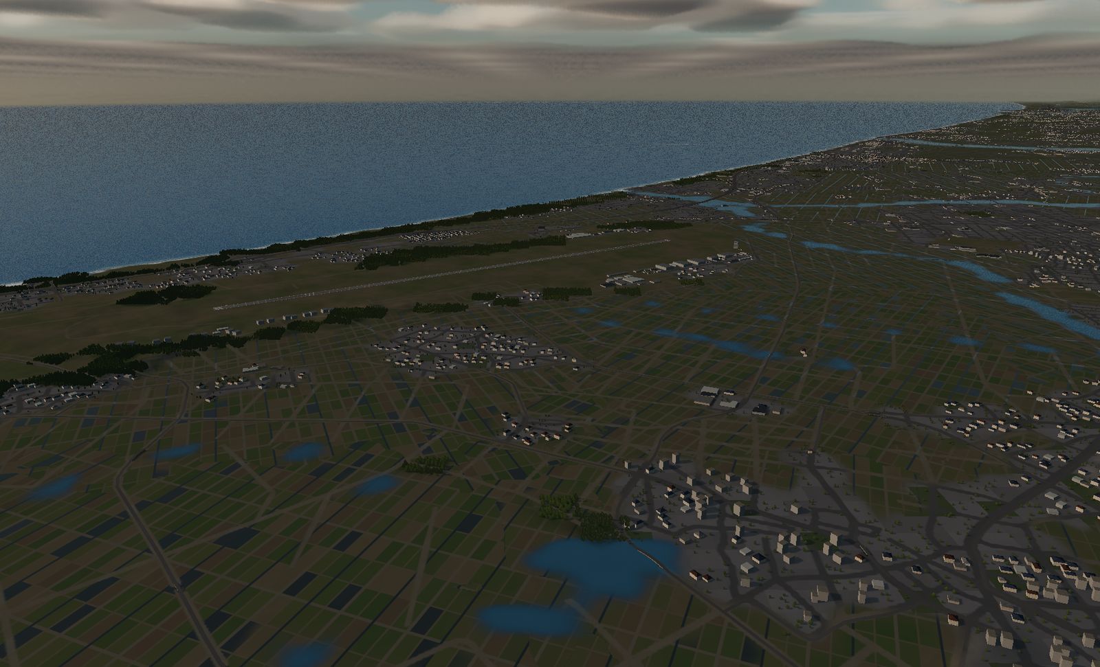
Komatsu Air Base
A fighter base on the Sea of Japan, home of the JASDF aggressor squadron. Take off and the coast is right there; Mt. Haku stands 42 km to your right.
DATA
- Identifier
- RJNK / JASDF Komatsu Air Base, Komatsu Airport
- Runway
- RWY 06/24 — 2,700 m × 45 m
- Elevation
- About 7 m
- Based units
- 6th Air Wing, 303rd / 306th Sqn (F-15J/DJ, F-35A)
Tactical Fighter Training Group (aggressors)
Komatsu Rescue Sqn (UH-60J / U-125A) - Area built
- 17.7 km square
- Buildings
- 15,036
A kilometre northwest of the runway, the land runs out. This is the only fighter base on Japan’s Sea of Japan coast.
The real base
Komatsu, Ishikawa prefecture. The 6th Air Wing (303rd and 306th Squadrons) is based here, and the 303rd is converting from the F-15J/DJ to the F-35A.
The other half of Komatsu’s identity is the Tactical Fighter Training Group — the JASDF aggressors. They travel the country playing the opposing force in distinctive splinter camouflage, and this is where they live.
The civil side is Komatsu Airport; passenger and cargo flights use the same 2,700 m of pavement.
The terrain we built
17.7 km square. Land ends about a kilometre northwest of the runway — the sea is closer here than at any other base in the game.
There are 15,036 buildings: villages scattered across the Kaga plain with paddy fields between them. The base sits on the seam where the plain meets the coast.
What it is like to fly
You start parked on RWY 06. Raise the gear and you are already over water. Turn back and the plain is behind you, with Mt. Haku (2,702 m) 42 km out on a bearing of 129° off your right wing.
Because the sea arrives so quickly, the circuit turn has to start early. And there are no landmarks over water — this is a base where you have to keep track of where home is yourself.
The terrain included varies by edition and platform. See the description of each edition for details.
Elevation data: Geospatial Information Authority of Japan (GSI)