 F-2 MISSIONS
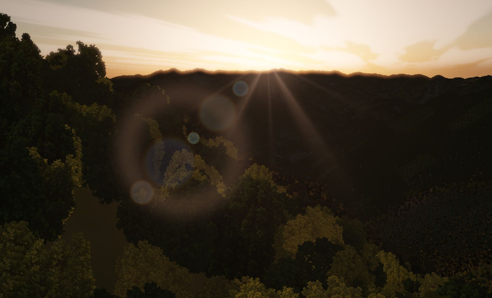
Ōboke Gorge
The Yoshino river cutting clean through the Shikoku mountains. A tight, twisting gorge run downhill — the place name is the warning label.
DATA
- Location
- Miyoshi, Tokushima — middle Yoshino river
- Area built
- 8.1 km square
- Elevation
- 150 m to 1,377 m (measured)
- Character
- A descending valley — the ground falls away downstream
“Take a big stride and you’re in trouble.” That is roughly what the place name means, and it doubles as the briefing.
The place
Miyoshi, Tokushima prefecture. The Yoshino river cuts north–south straight through the Shikoku mountains, and the stretch known as Ōboke and Koboke is a gorge of crystalline schist carved into sheer faces.
Measured elevations run from 150 m to 1,377 m. It is not as deep as Kurobe or Kamikōchi, but the bends are tight — the river meanders hard while punching through the massif.
The terrain we built
8.1 km square, with broadleaf forest over almost every slope.
With the morning sun straight down the valley, the stacked ridgelines wash out into backlight and near stops being distinguishable from far. The difficulty here is not depth — it is legibility.
What it is like to fly
You come in at the southern mouth and follow the ribbon of water downhill. Where the Southern Alps climb, this one descends. The falling ground buys you height, but it also builds speed.
And the bends are tight. Carry speed into a tight bend and your turn radius exceeds the width of the valley. Low, fast and accurate — go greedy on any one of the three and the other two collapse.
The terrain included varies by edition and platform. See the description of each edition for details.
Elevation data: Geospatial Information Authority of Japan (GSI)